

Google Maps users have started receiving a new feature in the app: the ability to see the location of speed cameras. When a user selects a route, the app displays orange dots with a camera icon to indicate the presence of a fixed speed camera.
The new feature is being gradually rolled out to Google Maps users on Android and iOS. The image below shows the technology in action on the streets of Brazil. Google has not commented on the matter, but the new feature is also expected to arrive in other versions of the service, such as on PC and in-car systems.
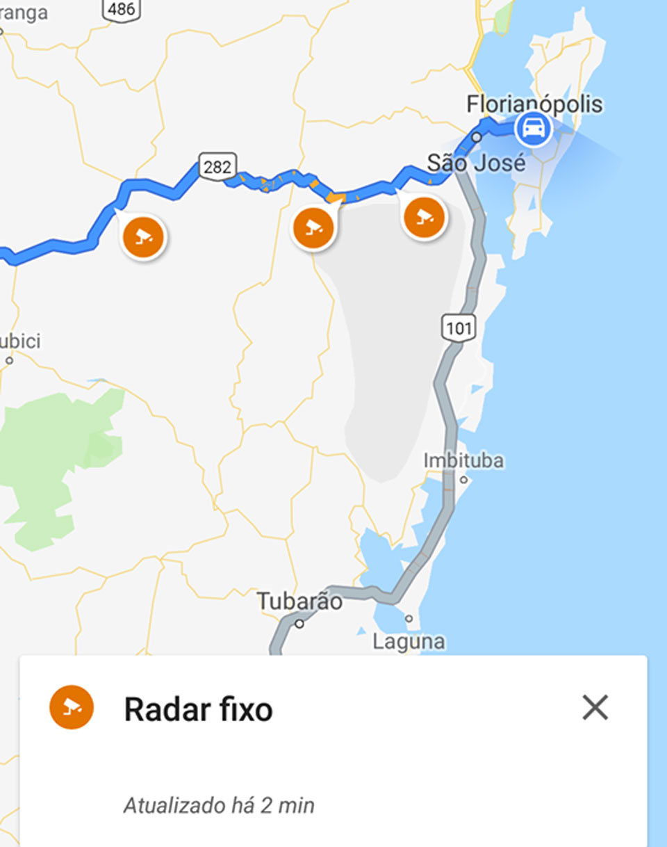
In addition to alerting about speed cameras, Google Maps can now also indicate the presence of roadworks. In both cases, users feed the app with warnings, and after a large number of alerts, the system begins to identify the road interference.
Both features were being tested worldwide on Google Maps in November and December last year, so it was only a matter of time before the new features reached more users of the service.
The identification of speed cameras and roadworks are some of the tools adopted by Maps that are already present in Waze. The famous traffic app, which was acquired by Google in 2013 for US$1 billion, has already sparked some controversy due to its features. In addition to identifying speed cameras, the app has also been criticised for warning about the presence of police stops, which, in theory, could lead drivers to drive recklessly.
Source: tecmundo